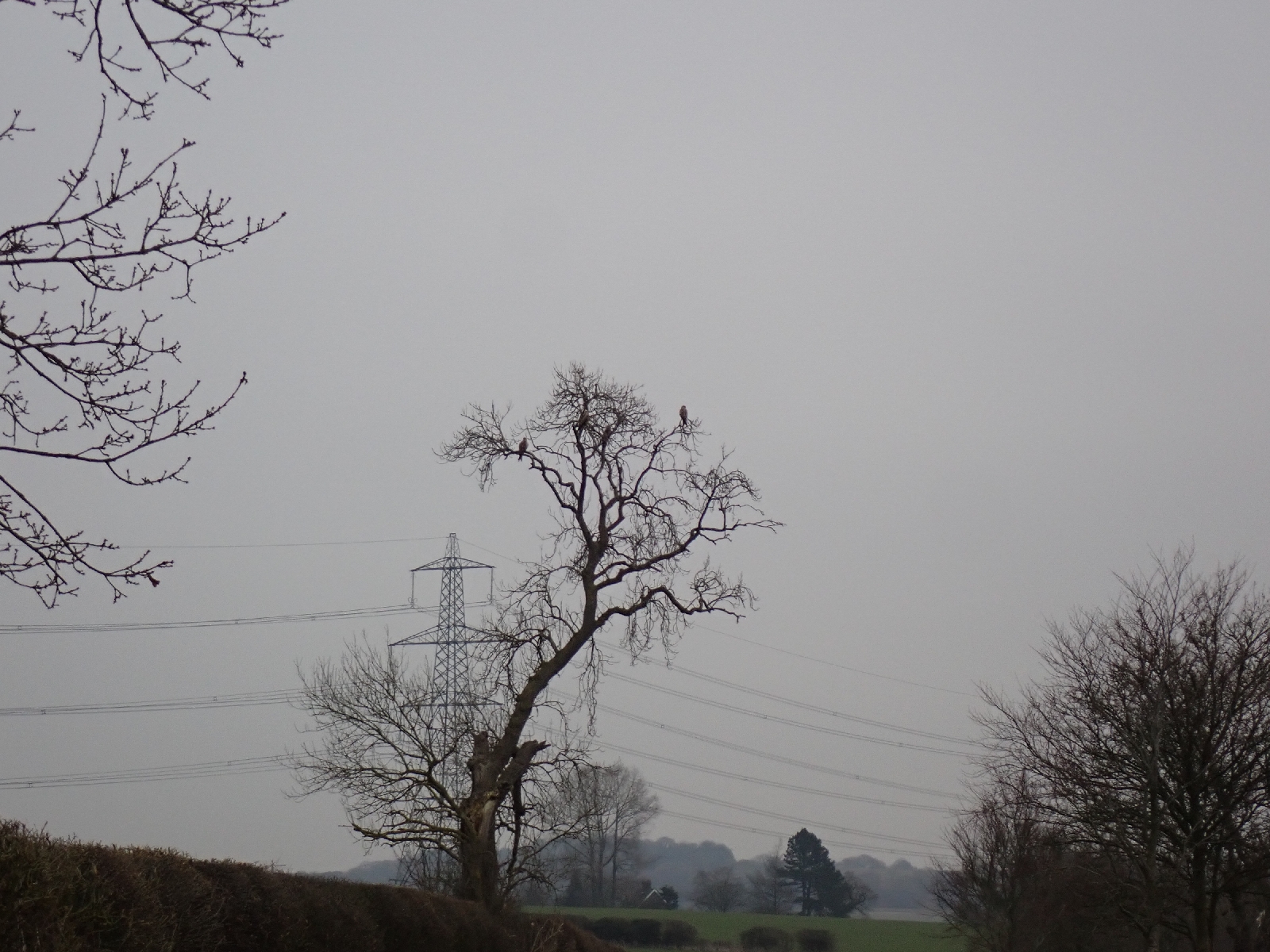
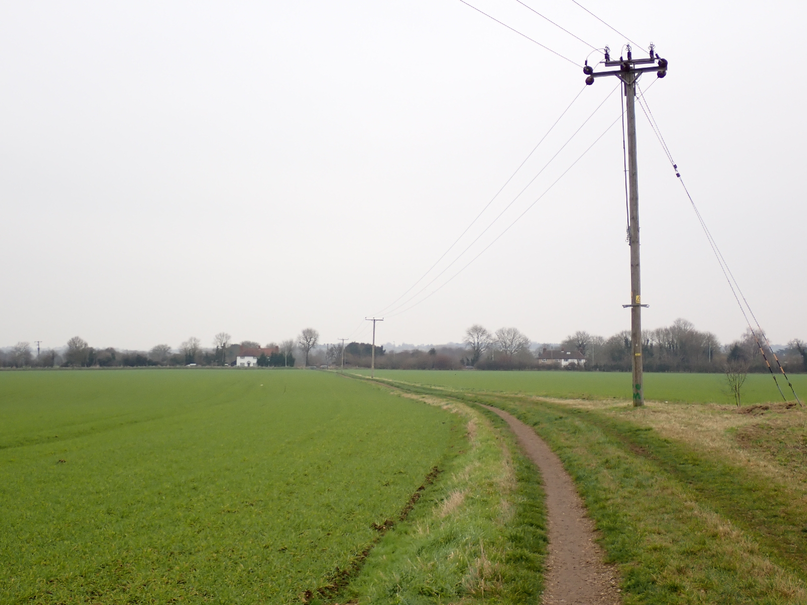
Leaving the chalet I had rented last night I was confronted by an Icknield Trail sign at the gate, not where my GPS indicated my route was. My confusion arose as there is a walker's route (the Icknield Way) and a route for horse riders and cyclists (the Icknield Trail). They often follow the same track, but in this location they diverged. After some fields and skirting a housing estate on the edge of the town of Luton, I climbed up through a golf course into the Warden hills. From the top, Luton looked distinctly grey in the broad valley below, monochrome apart from an orange Sainsbury sign. Beyond, my route was along hedge and tree lined tracks or "rides". Red kites, perched on the bare branches of a tree, dispersed into the air as I approached. A crow's "caw" and the shrill, short song of a dunnock in the hedgerow was accompanied by the distant hum of traffic. In one field there was an unusual flock of black sheep with horns (Hebridean sheep?).
After crossing the Pegdon hills, I walked through the village of Pirton. First I saw the Motte & Bailey pub, then I saw the "motte", a mound remaining from a 12th century timber fortification. It was adjacent to the church (rebuilt in the 19th century on older foundations). A village pond, once used by sheep and horses, had been renovated by removing many years of silt accumulation, and was now enjoyed by ducks. I had encountered a similar restoration project of a village pond in Streatley. The village shop was the other attraction, in particular, the spiral, cinnamon pastries.
It was then a few more kilometres through fields to Ickleford. As I walked I was inordinately pleased that today there was little mud, after two weeks with little rain the earth was slowly drying out. It meant that when met my brother and his wife, in whose house I am staying tonight, I did not have to worry about the depositing two inches of mud on their doorstep.


No comments:
Post a Comment