Monday, January 31, 2022

Kettishall Heath to Brandon: Greater Ridgeway Day 25

A sunny walk through sandy woodland for almost all the day.

Birch trees in Thetford forest.

I was disappointed this morning. A wind speed of over 40 miles per hour was still being forecast but the branches of the trees were barely moving. If I had known the weather was going to be this mild I would have camped out in Thetford forest last night instead of diverting into town. However the Travelodge was clean, functional and reasonably priced and I enjoyed breakfast at the Costa Coffee so I cannot complain too much.

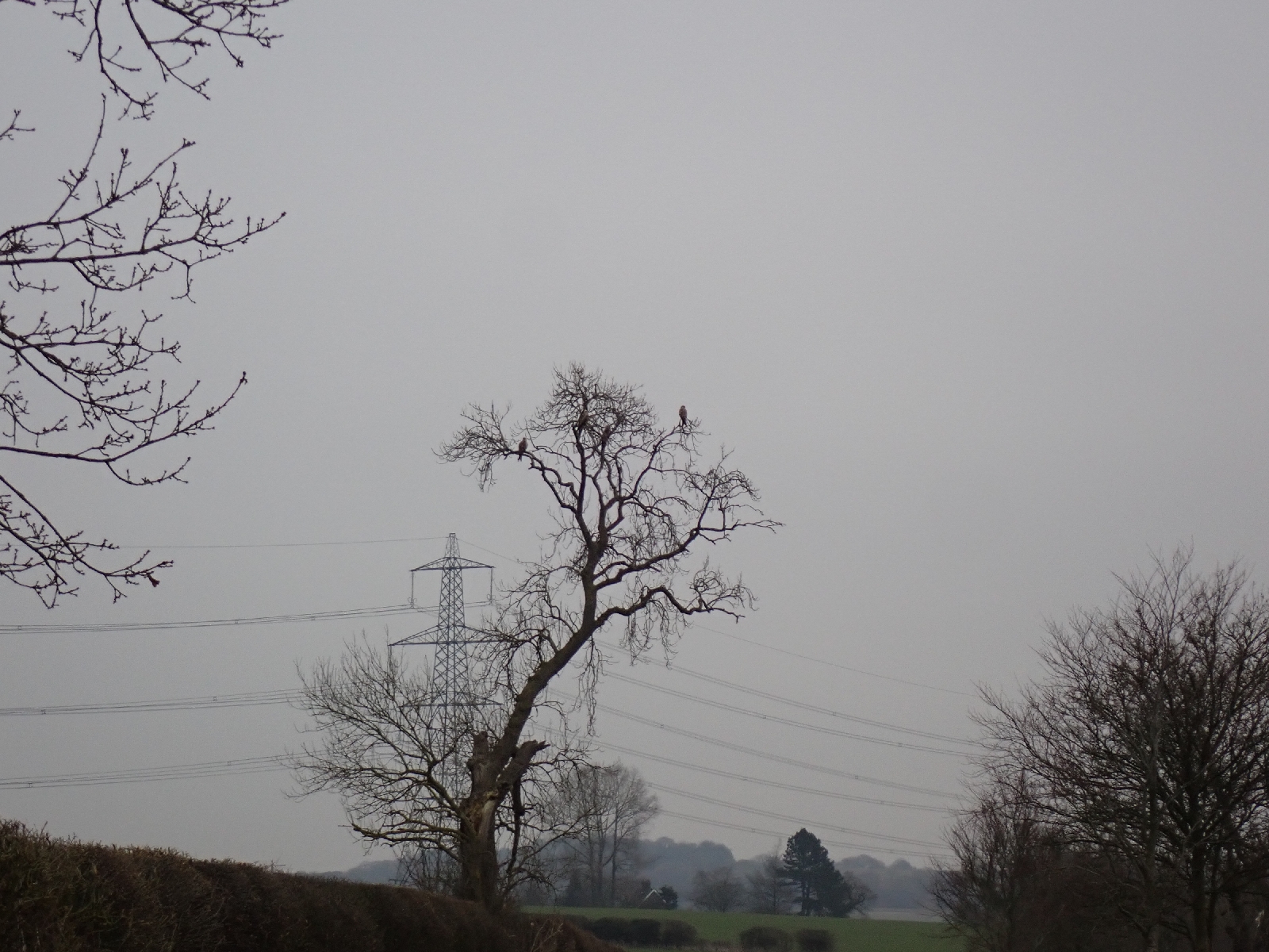
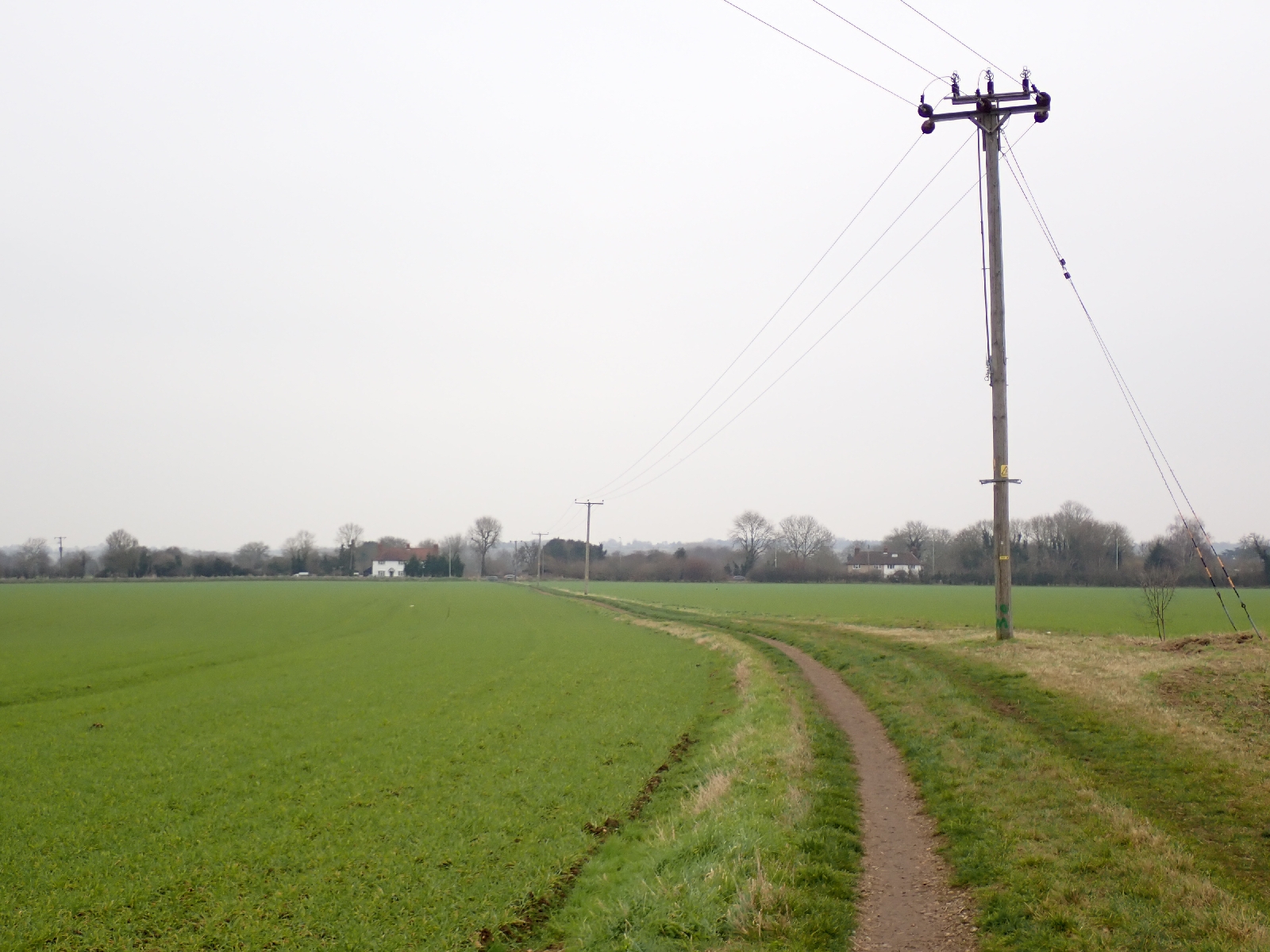
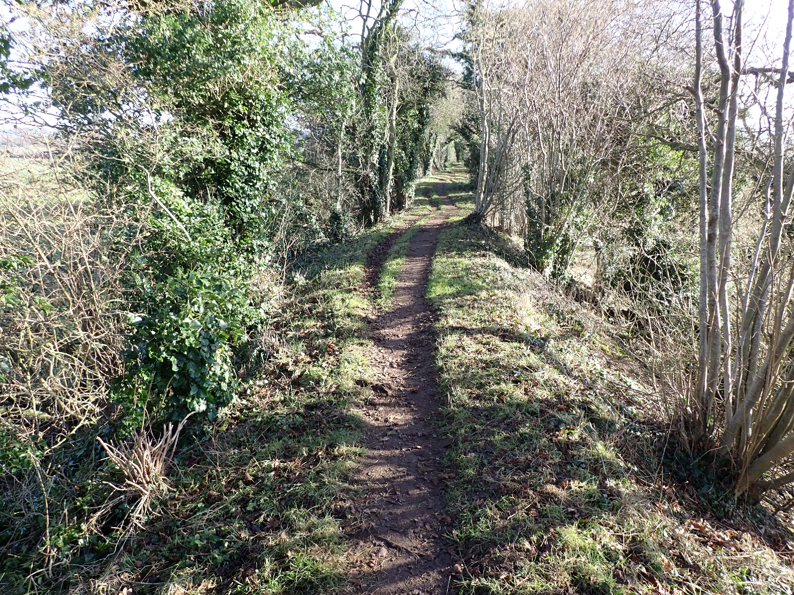
Last night I arranged a taxi to pick me up and it duly arrived and took me to where I had left the Peddars Way last night. My driver knew where it was as the Covid lockdown had given him time to explore the local walks, there being no business. I began by walking on a boardwalk as it wound over an area of tall, dry reeds then crossed a small river. Then it was by a piggery, with lots of pink "porkers" out enjoying the sun, snuffling around. A variety of pig houses were spread over a large area for the piggies to shelter in. After that it was forest for the rest of the day, sometimes on wide rutted tracks, sometimes beside a busy road, occasionally on a path. Birch trees lined the tracks, their trunks highlighted by the low sun, behind them were conifers. Beech trees predominated in parts, their brown leaves and nuts covering the ground. 

A "rest area" beside the busy A11, gave me the opportunity to buy a cup of tea and a bap. Shortly after I left Peddars Way and began a section of Hereward Way. By walking for a few days west on this route I will reach the area where two of my cousins lived. I was looking forward to meeting up with them. The Hereward Way is named after Hereward the Wake, who fought Norman conquerors in the 11th century in the area around the city of Ely, which I will shortly walk to. Surprisingly I found no signs or waymarks indicating I was on the Hereward Way, although other paths such as the Via Beata and St Edmunds Way were marked. Sometimes it seems that people prefer to create new routes rather than maintain and improve existing ones.

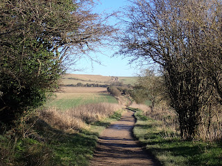
When the route followed a busy road I kept to the uneven ground beside it among birch trees. Although there was no path, many of the trees had initials carved in them, sometimes within heart symbols, and occasional dates between 1961 and 1971. The carvings had expanded with the tree trunks over the last 60 years. I imagined couples coming here long ago to enjoy some intimacy that might not be possible in their parents homes and carving signs of their love on the trees. After much more woodland I reached  where St Helen's church once stood, only some mounds and an information board recorded its presence. Beside it was a holy well, now a spring at the bottom of old flint workings. Although the soil of Breckland is sandy, the sand is a superficial deposit covering the chalk rock. Wind blown material that collected in front of the ice sheet during one of the Ice Ages. They did not have to dig very deep to reach layers of flint in the chalk rock, flint once used to generate sparks for rifles. The sandy soil is not ideal for agriculture hence the large area of forestry through which I have been walking. Not long after there was a church still standing although no longer used for regular services. The little All Saints church at Santon, with its curious octagon tower, is maintained by a trust, and was a welcome place to rest and contemplate. Nearby was an old moat, no longer filled with water. No-one knows what it was for. After passing the entrance to the forestry office (by another church and a memorial to soldiers who have died) I took a path through woods with the low afternoon sun in my eyes.

Track approaching Brandon.

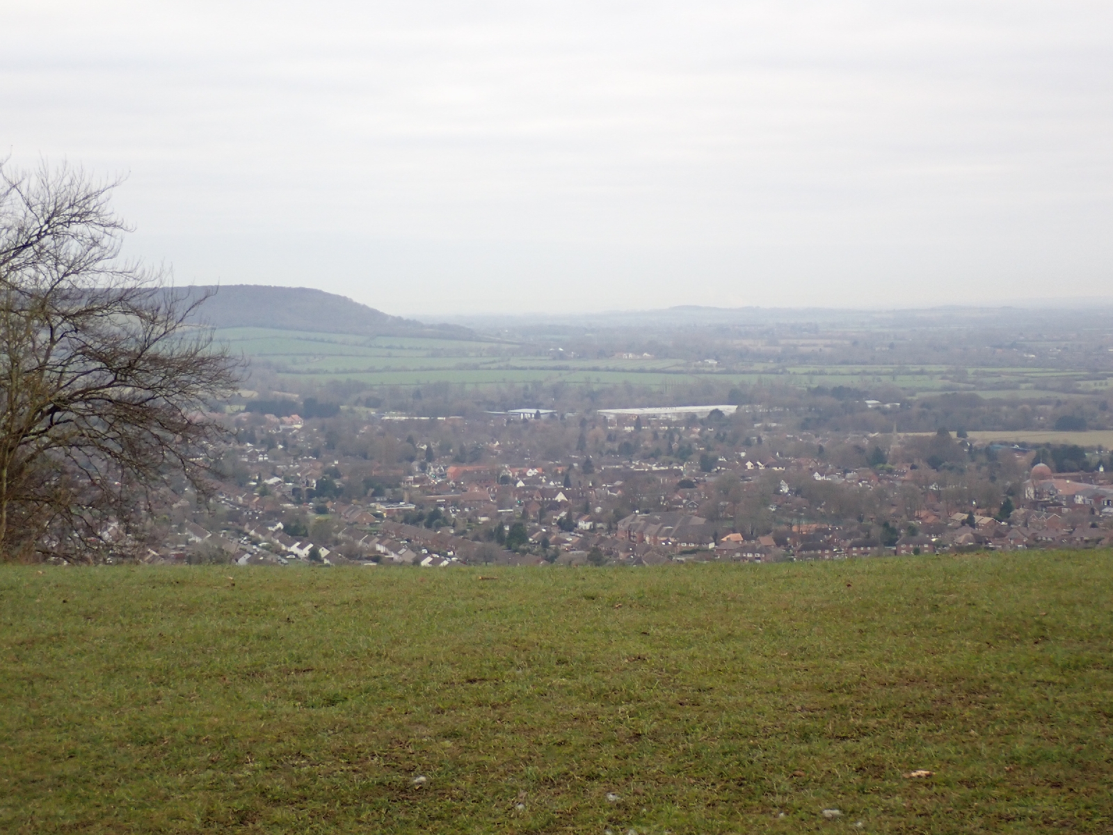
Finally a track took me around the back of new housing, by some horses backlit by the sun, to the centre of Brandon. After deliberating between the angel cake and the citrus cake I chose the later to have with a latte at a coffee shop while waiting for my accommodation to open. Now thinking of my supper!

Sunday, January 30, 2022

Icknield Way: Some Comments

The Icknield Way captures Middle England, the sights and sounds people find on a walk with their dog, the villages and towns they might visit or live in. There is plenty of farmland on the Way, often muddy especially when I walked the trail in January. Yet there are also gorgeous views from the top of chalk escarpments on the western half of the trail. These steep slopes are quite different to the gentle, green, grass covered swellings to the east and an even greater contrast to the flat area of Breckland with its forests and heathland.

English villages are visited with the archetypal church, pub and duck pond (although often with no shop or tea room). Churches typically have walls made of flint and a tower. Old, Norman to 15th century with Victorian additions, they are worth visiting for historical, artistic and architectural reasons, as well as for religious contemplation. Public houses (Pubs) are also usually old, with blackened timber beams. Sometimes towns and their lines of houses are carefully avoided, other times the Way goes straight through. This reveals old and new, timber framed and thatched buildings centuries old, a Garden city only a hundred years in age, or more recently densely packed, red brick housing complete with solar panels. The trail itself is historic, claiming to be "the oldest road in Britain", following prehistoric pathways along the chalk outcrop.

Waymarking is generally good. Be aware that there are separate walker's and horse rider's trails (Icknield Way and Icknield Trail respectively) which follow the same route at times but not others which could cause confusion. Whether on horse or foot you cannot rely just on waymarks, a GPS track, map or smart phone App is needed for navigation. Ideally you should purchase the guidebook from the Icknield Way Association which has developed and promotes the path. Not that you are ever far from some village, the route is not remote. Accommodation can be found throughout the Icknield Way if you book and plan in advance, although costs can add up. It is not ideal for wild camping until the final day in the Thetford forest.

Overall a pleasant walk, but maybe not in the running for the World's 10 greatest hikes.


Icknield Way is marked by waymarks with the image of a stone axe, alluding to the age of the trail.

Chalk Escarpment near Chilterns Visitor Centre

Typical farmland that forms much of the paths scenery.

Gentle hills are typical of the central part of the path.


Many traditional English villages are visited complete with village pond, this one at Tuddenham. 

Icklingham to Kettishall Heath: Greater Ridgeway Day 24

My last day on the Icknield Way was through Breckland, a landscape of trees, heath and farmland quite different to other parts of this long distance path.

Breckland landscape.

This morning my tent's flysheet was coated with sparkling white frost. Despite the cold my winter sleeping bag and air bed had kept me warm overnight, although I was conscious of an occasional drip of water from condensation above my head. Outside the tent a scattering of small clouds above the trees were capturing the pink light of the sun, still over the horizon. One of the joys for me of wild camping is being up to see the sunrise, away from any light pollution, and the effect of the low sunlight on the landscape.

Sunrise.

Packing my tent into its bag was a struggle, its material still stiff and packed with frost despite my attempt to shake it off. I was curious to see what might have caused motorbikes and cars to stop on the main track near my tent last night. There was an area where the track was enlarged, widened with numerous rutted tracks. Maybe a convenient place to stop and chat. Yellow signs on trees said the area was monitored by CCTV. Nothing was explicitly prohibited, so I asked a dog walker the purpose of the signs and was told some of the Land Rover drivers were "animals". Most of my walk today was on "byways" on which you can legally drive your four wheel drive vehicle or scrambler motorcycle. There were plenty of both out today, maybe as it was a weekend, the motorbikes loudly screaming down the tracks, the four wheel drives moving at a more cautious pace with older men driving.

Rutted tracks were lined with birch trees, their white bark side-lit by the morning sun. Beyond the birch there were the regular rows of a mature coniferous plantation. Even after I left the forested area, lines of pine trees marked the edge of fields I crossed on wide, rutted lines. In places a copse or larger wooded area was on one side of me and open fields on the other, elsewhere I was on a tree lined track through fields. Pigs occupied several of those fields, each with its own pig house and bales of hay.

Rutted tracks through Thetford forest, made by four wheel drive vehicles and motorbikes which can legally drive on these byways.

Motorbikes out for a Sunday ride.

The only village on today's route was Euston, and I merely touched the edge of it by the grounds of Thetford Rovers Football Club which seemed to have just finished playing the Bulldogs. Although only a village league there were many cars in the parking area.

The Icknield Way ended at Knettishall Heath, an area of rough ground with grazing ponies behind a fence. A small child tried to attract their attention but the horses were facing away from her and ignored her entreaties. I had planned to continue up the Peddars Way, the next waymarked trail on the Greater Ridgeway, camping in some woodland area, but the weather forecast was warning of high winds overnight with a yellow warning from the Meteorological Office. As the day had been sunny throughout and the air still, I was not sure I believed the forecast. However my tent was designed to be lightweight rather than rugged and sheltering in woodland might not be prudent with the risk of branches or trees falling in high winds wind. Consequently after walking a short way up Peddars Way through woodland, I turned down a quiet road towards Thetford. 

This town was several kilometres away but the nearest I could find accommodation. My knee was causing me pain and the thought of a two hour walk was depressing. However, I was extremely fortunate that a car stopped and a kind lady gave me a lift into the town centre. Having been without coffee for 24 hours, that was my first priority. My driver took me to a Portuguese café where I had a coffee and cake, and bought her something similar in gratitude for saving me a long road walk. As well as pointing out some handy East European food shops where I could resupply she told me that Thetford was where "Dad's Army" had been filmed. A TV comedy favourite from my youth I was surprised that it was filmed in Thetford as the events supposedly took place in a seaside town (the fictional Walmington on Sea). Outside the Travelodge where I am staying there is a statue of Captain Mainwaring, the leader of the Home Guard troop featured in the series. Private Pike was painted in a doorway nearby.

Private Pike in Thetford.


Saturday, January 29, 2022

Stretchworth to Icklingham: Greater Ridgeway Day 23

A walk through an increasingly flat landscape and several villages.

Paths confined by hedges seemed characteristic of the first part of my walk today. Behind the hedges were horse paddocks and "gallops" for exercising the animals, although I saw few horses using these facilities. With Newmarket nearby, famous for its racing, the number of equine establishments was maybe to be expected. 

Path lined with hedges behind which there were horse related establishments.

Back in open fields a herd of grey-black deer ran out from behind a hedge, they stopped briefly, looked at me, then returned to where they had come from. On rounding the hedge I could see no sign of them, they had disappeared into the landscape. The fields themselves were either lines of grass (or maybe they were young crops of grain) or some kind of widely planted brassica.

The villages I walked through seemed to have been prosperous with some large, old, attractive houses, as well as the flint walled churches with square towers typical of the area, but maybe not able to support a congregation every Sunday. I was particularly anticipating the church at Gazaly as my research suggested it had tea and coffee making equipment, of key interest due to the sparsity of tea shops. My wish to reach it was frustrated by a detour in the Icknield Way, which added an extra few kilometres by completing three quarters of a circle through countryside rather than a direct approach up the road. However the diversion was undoubtedly more attractive than the shorter road route. I spotted my first snowdrops in flower and a few groups out for a Sunday ramble, busy chatting to each other.

The first snowdrops I had seen in flower.

Sadly, Gazaly church had facilities for making neither coffee nor tea, only a collection of second hand books and vinyl records for sale, so my donation to church funds was suitably reduced. One new book being advertised was about the 16th century wood carvings on the chancel roof. Unfortunately, without binoculars you could not see the animals said to be carved on the wooden bosses.


After a period of wind the afternoon brought intermittent sunshine, making views of bare branched trees and even telegraph poles look attractive. At Tuddingham, after a conversation with an older farmer about what his son might be doing with his forklift, I was rewarded with a coffee and cherry & custard strudel at a farm shop. I also bought a "smartie" cookie for later but unfortunately it was so attractive it predeceased my coffee.

Cavenham Heath had a sign describing the Brecklands, an area of sandy heather covered heath and woodland (where it was not farmed). Although shadows were lengthening as the sun dropped lower in the sky, many families were still enjoying a weekend walk on the heath as I crossed it. I reached the edge of the village of Icklingham as the sun was setting. In the dusk twilight I followed the Icknield Way around the north of the houses and then into a large area of forestry. By the time I had reached the main track through the forest my head torch was needed. Finding an area of grass down a side trail, I started to pitch my tent. Although I had seen no-one for a few kilometres, my act of pitching coincided with the sound of a car on the main track. Once inside my tent there was a roar of motorbikes which stopped not so far from my where I had pitched. They departed but were replaced by a car which stopped nearby, more motorbikes and the sound of distant conversation. At first I switched off my head torch, thinking meetings in a remote spot like this, rather than in a house, café or pub, must be for some nefarious activity. After a while I decided that the bushes between me and the main track would hide me. I turned my torch back on, ate my tea and completed my other evening activities. I am still listening to distant motorbike noises.

Friday, January 28, 2022

Great Chesterford to Stretchworth: Greater Ridgeway Day 22

Another day over increasingly low, green hills, but with two coffee shops on the way.

Today was the start of RSPB's Garden Bird Watch. As I was leaving Great Chesterford, passing its housing, a multitude of sparrows were flying about chattering to each other, no doubt wanting to be counted for this annual survey of bird numbers and maintain their number one slot. Hills were now gentle swellings clothed in green, although one slightly longer uphill stretch was rewarded by a bench at the top to sit down at, by a cairn of stones with a sign saying "for remembrance"  My route was again over open fields and on tracks between hedges or trees. The fields were large, created no doubt by removing earlier hedges, however, perhaps in a reversal of this trend, new hedges had been planted. Some were just twigs in plastic tubes, but others had long outgrown their tubes which still clung to the bushes beneath their branches. Another sign of their newness was their lack of diversity. Old hedges are mixtures of many species that have accumulated over many years. In a nod to biodiversity, on this trip I have spotted several signs beside wide field margins stating they had been left wild to encourage wildlife. Mature hedges had been cut by flailing, that is by a rotating chain or similar, which breaks rather than cuts the branches. It made them look unsightly, but hedges have to be cut to stop them growing ever wider.

By a brick water tower I noticed people with flags standing well apart at points around a large field. Curious I asked one what they were doing. Part of a "shoot" it appears, presumably of pheasants although I thought I saw some partridges later. Coffee shops have sadly not been that common on my Ridgeway walk but my research had revealed that there were two on my route today, so I was looking forward to patronising one. All the tables were taken at the "Linton Kitchen", and I was still full from breakfast. I reached Balsham at lunch time which gave an excellent reason to buy a pulled pork roll to eat with my coffee at the "Old Butchers". The roll was enormous, with apple sauce spilling out the sides. Although very good it did lay heavy in my stomach for my afternoons walk. 

"Old Butchers" café in Balsham.

I briefly joined the E2 European Long Distance Path that goes from Scotland to the south of France, a challenge I might take up in the future. A sign mistakenly said it was a European Community route whereas it is designated by the European Ramblers Association. Towards the end of the day I found that a kind farmer had carefully avoided ploughing up the footpath which crossed his field. In the fresh earth beside the path I looked at the hard flint pebbles which came from the soft, unseen chalk rock hidden beneath the soil. They are white on the outside but blue grey on their curved fracture surfaces where broken. The following section was less attractive. A straight, narrow, muddy path between prickly hedges.

A considerate farmer has not ploughed up the footpath.

Fragments of flint from the underlying chalk rock in a ploughed field.

Cross Green Bed & Breakfast, where I am sleeping tonight, provided a filling evening meal, brownies, a beer, lots of materials for breakfast and newspaper to put my muddy boots on in a modest apartment. Tomorrow night may not be so pleasant...


Thursday, January 27, 2022

Royston to Great Chesterford: Greater Ridgeway Day 21

A shorter day through gentle countryside and a few villages.

The Icknield Way left Royston on a straight line, first along a road, then beside one, with busy traffic on the left, hidden by trees, and a large field on my right, ploughed to a rich reddish tilth. Eventually the road curved away and I crossed farmland on a track. I spent some time trying to capture the trail and its surroundings on my camera, however good landscape photographs rely on the weather and the lighting it provides, which is often transitory as clouds briefly reveal the sun, occluding it before I can get my camera out. In the morning, after some light rain, the sky was grey and overcast, then a band of blue developed in the north. Setting the exposure to capture the colours of the sky without the fields in the foreground appearing dark (or vice versa) proved difficult. There were two types of shot I concentrated on. The first type was where the path crossed open fields with no hedges bounding the track, just a change from the rough grass and bare earth of the trail to the cultivated grass or soil of the field. Here the hills were just gentle swellings over which the trail was draped. Steep escarpments of the type I had walked along prior to Ickleford were no longer present, maybe flattened by the moving ice in the last Ice Age. Skylarks sang above me. The second type of trail photo was when the path was bounded by trees. Walking below their branches was especially attractive in the afternoon when the low winter sun broke through the clouds and cast shadows of the trees over the trail.

Path through open fields.

Route following quiet road, now with band of blue above horizon.

Path between lines of trees.

In my travels I passed through three villages, each with a flint walled church and pub (although cafes and shops were hard to find). The only church I stopped to enter was St Mary the Virgin's church at Strethall, which was not in a village at all, but just by a farm. Inside this simple but handsome church, light from the stained glass coloured the floor of the chancel. On a wall a board listed the rectors responsible since 1322. Apparently it is in the parish of "the Icknield Way villages". It is difficult to see where it gets a congregation from. No doubt once there were plenty of farm labourers living nearby, but now tractors and other machines do the work. The parish's website calls the area "a little bit of heaven beside the M11", and an hour or so later I cross the motorway in this rhyming couplet, followed by an electrified railway. Probably the last of the great arteries of traffic radiating out of London that I shall cross.

St Mary the Virgin in Strethall.

My knee had been loose and complaining most of the day but in this final section it settled down as if it knew I was nearly finished for the day. My reward was a cup of coffee and baguette at the bakery in the village of Great Chesterford before a shower and rest in my hotel room. Typical of the area the village is a mixture of orange-red brick, flint walls and rendered houses of various ages with thatched, tiled and slate roofs. Increasingly there are black, wooden clad barns and houses that seem more unique to this part of the country.

Wednesday, January 26, 2022

Ickleford to Royston: Greater Ridgeway Day 19 and 20

A walk through Letchworth Garden City to wide open skies and large fields.

Yesterday I had a rest day with my brother, his wife and family. An opportunity to catch up on the latest news and wash my clothes properly. This morning I was back at Ickleford to continue my expedition. Following the signs I crossed a railway line and then a track across open fields. There I met a man looking up at a tree, or rather a small bird in a tree. It sounded like a dunnock to me but he thought a meadow pipit. After a few words on long distance walks I left him to continue into Letchworth.

The town is a "Garden City", indeed it was the first one, being created in the early years of the 20th century. As such the whole of the "city" was planned as a single project to include the best of town and country, with clean air, good drainage, bright houses and gardens and, it was hoped, high wages. The original well spaced houses and tree lined streets are a pleasure to look at and no doubt live in. Standards continue to be maintained by the Garden City Foundation. My route took me by the Spirella corset factory, a stylish building from the 1920s which now seemed to house offices. I deviated from the Icknield Way for a coffee in the town centre, by a wide, largely pedestrianised street. On the eastern side of the town the Icknield Way went by car show rooms, light industry and some very modern housing. A contrast to those built in the 1900s, these were closely packed with solar panels on their roofs. Crossing the busy A1(M) motorway the urban landscape continued in Baldock. There were older houses near its centre, the high street was a wide boulevard.


From there to Royston I crossed large, open fields and a few small villages, of which Wallington contained a thatched house once occupied by the author George Orwell. It was here he wrote of his experiences in the Spanish Civil War in "Homage to Catalonia", experiences that would greatly influence his later work and influenced me when I read the book in my youth.

George Orwells's house at Wallington.

Now that the clouds had cleared the gentle swellings of large fields of grass or stubble were encompassed by wide blue skies. On one mild summit a shooting party had collected, its attendees all dressed in green jackets and Wellington boots, men in flat caps, guns in leather carrying cases, eager bright eyed spaniels and retrievers with greater gravitas ready and waiting.


At  Sandon the church looked massively built with sloping buttresses, inside was an interesting brass commemorating John and Elizabeth Fitzgeffrey from 1480, a liked the little dog at the base of Elizabeth's dress. After the village the Icknield Way went back and fore on tree lined tracks used by horse riders. The lowering sun lengthened shadows, softened the landscape in its yellow light, and painted the top of steel grey, gathering clouds a shade of pink. As I walked I alarmed pigeons roosting in the trees, who took to the air in great flapping, flurries. After turning back on itself many times, after Therfield the track made a run for Royston.

The key attraction of the town was a boulder called the Royse Stone, a glacial erratic brought from hundreds of miles away by a moving ice sheet in the Ice Age. It had a depression in the top that may have once been filled with vinegar, used for disinfecting coins in times of plague. A cross may also have stood on the rock. The other attraction of the town, closed when I arrived, was the Royston Cave, a man made subterranean chamber with religious carvings of unknown purpose. I walked down one of the streets lined with shops to the Old Bull where I had reserved a room. A room with ancient, black beams and rafters running through my bed and bathroom. Now I am full of food and beer, thinking of another day on the trail, pushing ever eastward.

Monday, January 24, 2022

Streatley to Ickleford: Greater Ridgeway Day 18

A short day over fields and woodland before a rest day.

Leaving the chalet I had rented last night I was confronted by an Icknield Trail sign at the gate, not where my GPS indicated my route was. My confusion arose as there is a walker's route (the Icknield Way) and a route for horse riders and cyclists (the Icknield Trail). They often follow the same track, but in this location they diverged. After some fields and skirting a housing estate on the edge of the town of Luton, I climbed up through a golf course into the Warden hills. From the top, Luton looked distinctly grey in the broad valley below, monochrome apart from an orange Sainsbury sign. Beyond, my route was along hedge and tree lined tracks or "rides". Red kites, perched on the bare branches of a tree, dispersed into the air as I approached. A crow's "caw" and the shrill, short song of a dunnock in the hedgerow was accompanied by the distant hum of traffic. In one field there was an unusual flock of black sheep with horns (Hebridean sheep?).

Red Kites perched in a tree.

After crossing the Pegdon hills, I walked through the village of Pirton. First I saw the Motte & Bailey pub, then I saw the "motte", a mound remaining from a 12th century timber fortification. It was adjacent to the church (rebuilt in the 19th century on older foundations). A village pond, once used by sheep and horses, had been renovated by removing many years of silt accumulation, and was now enjoyed by ducks. I had encountered a similar restoration project of a village pond in Streatley. The village shop was the other attraction, in particular,  the spiral, cinnamon pastries.

It was then a few more kilometres through fields to Ickleford. As I walked I was inordinately pleased that today there was little mud, after two weeks with little rain the earth was slowly drying out. It meant that when met my brother and his wife, in whose house I am staying tonight, I did not have to worry about the depositing two inches of mud on their doorstep.

Approach to Ickleford.

Sunday, January 23, 2022

Whipsnade to Streatley: Greater Ridgeway Day 17

A mixed day with lovely stretches along the top of the chalk escarpment and muddy plods over farmland.

I did not have high hopes for today. To avoid the conurbation of Dunstable and Luton the Icknield Way curves over the top of it. A route to avoid a problem rather than to link up attractive or interesting sights I thought, however that conclusion was unfair as I encountered several places on today's walk worthy of a visit. The first was as I left the village of Whipsnade. A "cathedral" of trees had been planted in memory of three comrades from the First World War. Looking down the "nave" I am not quite sure they used the best trees to mimic the high arches of a cathedral, although maybe when the trees are in leaf the appearance is more exalted.

Whipsnade Tree Cathedral.

Soon I was walking along high grassland, above where the land dropped steeply giving long if misty views over lower ground to the north. Below me I could see a field with gliders, their long, white, wings outstretched. Yesterday I had seen them in the air, being towed into the skies by a small plane. Many people and dogs were out for a Sunday walk; pootling poodles, graceful greyhounds and a large dog so pleased to see me that he jumped up to greet me several times, leaving several muddy paw prints on my coat, much to the embarrassment of its owner. At the crest of the hill the National Trust's Chiltern Gateway Centre was selling gifts, coffee and cookies. I  succumbed to the latter two.

Approaching Chilterns Visitor Centre on top of the chalk escarpment.

Dropping down to lower ground I skirted the suburbs of Dunstable on a "green lane", before starting across farmland. Crossing pasture, and fields where grass seemed to have been planted among stubble, my boots soon accumulated a thick layer of soil. Sliding on the mud made for a tiring day with my left knee complaining. My mood was not helped by an electric fence, which enclosed a large field of turnips and sheep, obstructing the path. I very carefully put my feet over the wires, taking care they did not contact my undercarriage.

The monotony of farmland crossing was broken by a few notable sights. These included walking between enormous warehouses belonging to UPS and Amazon. Lines of "Amazon Prime" vans were in front of the latter, not in use, maybe as it was a Sunday. Another memory was visiting a church. It was locked however I made use of a bench in the churchyard for a rest and an apple. A solitary man, bent with age, was the only other person there. He was carefully tidying a grave using long handled shears. The grave had fresh flowers. We exchanged a few banalities on the weather. I did not ask him about his loss, it seemed inappropriate, although I would have liked to.

There was an optional section of the Icknield Way which passes close to the village of Toddington. Following Icknield Way signs without thought I accidentally went a little way up this alternative, but as it seemed longer my knee voted that we returned to the main route. I crossed the M1 motorway, lines of cars speeding into or out of London, then crossed the railway. Five electrified lines, two for fast trains to and from the north, and the remainder for slower more local ones.

Crossing M1 Motorway.

Towards the end of my day, I regained the higher ground and some decent views where not obscured by trees. The last section of the route, around Sharpenhoe Clappers, was highly contorted. There was a pair of tall aerials which I saw from all angles. My path was following the edge of a plateau, above steep, wooded slopes, along the top of valley sides, in and out, as they cut into the higher ground. I found it difficult to maintain a sense of direction. Finally I arrived at Streatley, the second village with this name on my trip so far. My self catering chalet for the night was on the south side. All was dark as I arrived by the light of my head torch. 


Saturday, January 22, 2022

Ridgeway National Trail: Some Comments

The Ridgeway is one of the shorter of Britain's National Trail at 87 miles (139 kilometres). It falls into two distinct halves. West of the River Thames crossing at Streatley and Goring, the Ridgeway follows high grassland. In places you can look for many miles across countryside to the north of the chalk escarpment. East of the Thames crossing there are long sections on flat, low ground between hedges and trees, alternating with climbs over the Chilten Hills. There are many wooded areas, commonly of beech trees in the eastern half of the Ridgeway.

In general the Ridgeway avoids towns and villages depriving you of tea shops and cakes. Main exceptions are Streatley and Goring, close by each other at the half way point beside the Thames, and Wendover, although many other places are within a kilometre or so of the path. Throughout the route the path is well signposted and relatively easy to follow although I often checked my GPS, which had the Ridgeway loaded as a "track", to make sure I had not strayed off the trail. There were numerous car parks where the trail crossed a road, which would help if you chose to walk the trail as a series of day trips, not many litter bins or toilets though.

Apart from one night when I had no option but to wild camp I was able to find accommodation every night: two traditional Bed & Breakfasts, one pub, and a youth hostel. I was walking in January, very much the "low" season, at other times of the year suitable accommodation should be available every night (including official campsites) if you book ahead. It is not ideal country for wild camping being well populated farmland, however there are areas of woodland where one could discretely camp, or you could brave it directly beside the trail on land that is not farmed.

Red Kites soaring overhead were the most exciting wild life I spotted. Outside the winter months there would have been many flowers. Early on there were many archaeological sites, including Avebury, not officially on the Ridgeway but a large stone circle which it would be silly not to include. After the Thames, the historical interest was more in old, Norman churches. 

While the Ridgeway is not the most scenic or exciting of Britain's trails, it is pleasant enough and easily fitted into a week at any time of the year.


Wendover to Whipsnade: Greater Ridgeway Day 16

My achievement today was completing the Ridgeway National Trail.

Hale House, my Bed & Breakfast was a "Passivhaus", a house designed so that no heating was required. In response to my query, the informative owner explained that the towel rails were the only source of heat. Thanks to thick insulation and triple glazed windows it was warm even today, on a cold, January morning. To keep the air fresh without losing heat, warm air from the bathrooms and kitchen was driven outside through a heat exchanger, which used the warmth of the stale air being expelled to heat the fresh air being brought into the house. To clean the air it was passed through a filter to remove particulate pollution, so better than the outside air!

So informed and replete with an excellent breakfast (including homemade jam) I began my day's walk. Much of it was through woodland, mainly beech, crossing several hills. Particularly attractive was a "ride" through trees on the high ground above the town of Tring. Weather was dry but features in the distance were affected by a misty greyness. Being Saturday, many people were out for a walk or jog, with their girlfriends, families, children, dogs or horses. This made it difficult to have a discrete "wee" as I always seemed to be followed.

Ridgeway through woods above Tring.


A few kilometres before I reached it I thought I could see Ivinghoe Beacon, a grass covered promontory, standing proud above the lower land to the north of it, and the end of the Ridgeway National Trail. Maybe it was more than a few kilometres as it seemed to take a while to reach it. First I had to cross a few hills, rather more hills than I had expected. After a final steep climb in muddy boots I reached Ivinghoe Beacon and the plaque marking the end of this National Trail. The view was extensive but I did not stay long as it was exposed to a cold wind, besides, only a greying whippet seemed interested at my momentous arrival. I dropped down to a lower, more sheltered area to enjoy a snack.

Summit of Ivinghoe Beacon

Over the last day or two I had been encountering signs for the Icknield Way, which in places followed the Ridgeway. I now switched to this route to continue my trek across England. Waymarks included a drawing of a stone hammer, a reference to the stone age origins of the Icknield Way. Less popular than the Ridgeway, fewer people were on the track. Two men I encountered had backpacks of a size that indicated they had been camping. One told me they were trying out their equipment. They wild camped in a wood last night and were "toasty warm". Evidently the equipment past the test.

After passing the disappointingly modern house of "Hog Hall", the village of Dagnall and numerous golfers I reached a long section of straight path beside a very high fence. At first I found the fence forbidding, thinking it had some sinister purpose, enclosing a prison or the grounds of some criminal organisation. Then I realised it was the boundary fence of Whipsnade Zoo, the country arm of London Zoo. The high fence was to keep animals in (and non-paying guests out). I peered through the fence looking for lions or kangaroos but all I could see was tussocky grass. It was not much further to my inn for the night, and again the dreaded problem for the muddy walker of pale coloured carpets.

Friday, January 21, 2022

Watlington to Wendover: Greater Ridgeway Day 15

Lowland walking on frozen ground this morning, and in the afternoon, into the hills, views and mud.

I was not sure if the payment for my room included breakfast, and the people at the inn last night did not seem to know either. By 8:30 am the two times I had been given for breakfast starting had now passed and the inn remained locked and dark, so I gave up, packed and left my bedroom in the inn's annex, buying a coffee and BLT baguette from a little place in the village before starting today's ramble.

The first part of my walk was on low, largely flat land below the chalk hills to the right. Not quite what I expected for a Ridgeway path. However the mud on the wide track, enclosed by trees or hedges, was frozen and I made fast progress. As is typical of the Ridgeway, it tended to miss nearby villages, which were a kilometre or so to the left of the route. It did pass a large chalk quarry, mainly filled by water, most of it hidden behind the trees and bushes which lined the track. Many of the bushes were of "Travellers joy" (also called old man's beard and a type of clematis), with diaphanous, cotton like fibres extending out from seeds at this time of year. On mass, they gave the bushes a fluffy look. Contrasting green ivy curled around many trees and bushes.

The Ridgeway with "Traveller's Joy" on the left.

Before the town of Prince's Risborough I crossed my first significant hill of the day. Although the Ridgeway just touches the edge of the town, not having visited the place before I turned off the route and headed for its centre passed red brick, red tiled houses. A sign said it was a "Medieval market town since 1376", which rather implied it was still Medieval. Despite this claim the high street looked modern and busy, with just a few thatched houses. It seemed a good place to stop for lunch. While I ate I watched people and empty buses pass. Leaving I saw another group of red kites soaring above me, endlessly gliding around without apparent effort. Although reintroduced into the area only in 1989 after having been eradicated in the 19th century, they are now a common sight, even in more urban areas.
Between Prince's Risborough and Wendover the Ridgeway climbed steeply up the escarpment into the hills on a long flight of steps. Much of the afternoon was spent in beech woodland but there were panoramic views at several spots. The air was not that clear today or they would have been more impressive.

Looking back at Prince's Risborough, note the chalk escarpment in the distance.

One of today's notable points was passing Chequers, the Prime Minister's country house. Signs warned it was a criminal offence to leave the footpath and there were a few CCTV cameras to check you obeyed. Soon after there was a farm shop where they sold snacks which delayed me slightly. My Bed & Breakfast for the night were keen to know my arrival time and the unplanned delay at the farm shop meant that arrival at the time I promised to was now in peril.

I hurried on, but a hill, with a muddy path, was doing its best to slow me down. This morning the mud was frozen and allowed fast walking but by now it had warmed up, soft and ready to attach itself to me. There had been no rain for some days, so instead of the liquid slurry I had experienced at the start of my trip, which splashed over my trousers and sucked at my boots, the mud was now more viscous and sticky. Great wodges of it stuck to my soles. Consequently, even when I was walking on grass, as the path ran along sloping ground around the last hill, my mud bottomed boots tried to slide downhill beneath me. Although my trekking poles provided support, my dodgy left knee was suffering as it struggled to keep me upright. On the final promontory there was a memorial to those who had died in the Boer war. From the plinth you see a large area. Lights were just starting to sparkle from nearby towns, and lines of white headlights and red taillights crossed the landscape below me.

Boer War Memorial above Wendover.

Wendover looked a busy place with many shops, pubs and restaurants. My Bed & Breakfast was on the southern outskirts but I returned to the centre for my evening meal at an Italian, the Spanish restaurant being closed until February. My belly is now weighed down by "frito misto" and lemon tart.

Thursday, January 20, 2022

Streatley to Watlington: Greater Ridgeway Day 13 and 14

Today, the character of the Ridgeway changed, instead of following the edge of a plateau, I walked beside the River Thames, then across fields on Grim's Ditch and into the embrace of the Chiltern hills.

But first on the 13th day of my trip I rested. My left knee had been complaining and I was stiff the previous morning and whenever I stopped for a while. By taking a rest day now, I hoped to reduce the possibility of having to abandon my hike later due to my knee problem. Although I could have caught the train to Oxford or tackled some other activity I decided on complete rest so I bought a newspaper and tried to puzzle out the "difficult" Sudoku square (and failed) among other sedentary tasks at the Streatley YHA. My only exercise was walking down to the Pierreponts café in Goring for a breakfast croissant & coffee, followed by Turkish eggs for lunch. (Goring is on the opposite side of the River Thames to Streatley).

Day 14 started with a walk beside the Thames. Near Goring the river was largely hidden behind hedges and fences, those wealthy people owning land beside the water evidently did not want me looking at their property. Later, as I walked through an area given over to reeds and fishermen I could look across the Thames to the expensive houses opposite. The path was between the river and the main railway line heading west out of London. Every few minutes a train went by at speed. I was surprised the local residents accepted the noise, as I suspect an acoustic barrier would significantly reduce it. Of course the railway line had been there for 150 years or so, and people accept things that have been present all their lives.

River Thames north of Goring.

South Stoke and North Stoke were two villages on the Thames that the Ridgeway wandered through, each with a church whose walls were made of flint pebbles. I looked into the second (St Mary the Virgin) and found the faint remains of old paintings on the plastered walls. 

St Mary the Virgin, North Stoke.

The Ridgeway left the vicinity of the river at a busy road and turned decisively eastwards. Soon I found myself walking through trees on a raised bank with fields on either side. This was confusingly called Grim's Ditch, an ancient feature maybe once separating different Iron Age tribes. It led me in a fairly straight line, eventually entering woodland and becoming a ditch between two banks. At this point it was taking me uphill into the Chiltern Hills, having left the flat area around the Thames.

Path on top of Grim's Ditch, there are fields beyond the trees that line each side of the bank.

Walking through the Chilterns was very different from the earlier hills on the Ridgeway. Before Streatley the route was on high ground with an escarpment to the north dropping to lower land. In the Chilterns this division was not present and Ridgeway simply went up and down hills. I left Grim's Ditch at the village of Nuffield where I visited the Holy Trinity Church. Another flint walled church, inside I was pleased to find facilities to make a cup of coffee and a selection of cakes and biscuits in which I indulged, leaving a suitable donation on the contactless card reader, a rather modern feature of an ancient church. Among the more religious magazines available to read while enjoying my coffee was a ring binder on William Morris, later Lord Nuffield. A great entrepreneur who began with a modest bicycle repair shop but went on to create the Morris Car company which had great success in the years between the two World Wars. He gave much of his money away, particularly for education and health (e.g. Nuffield College in Oxford). I searched around the churchyard for where Lord Nuffield was buried, eventually finding his modest grave.


Continuing up and down over a neatly mowed golf course, woodland and fields I saw many red kites soaring overhead.....or else the same three were following me. (A little old lady walking her dog confirmed my bird identification). Swyncombe was the forth flint walled church of the day. Inside I met a man who wrote a book on its history (out soon). He told me the church was built in 1122 explaining how he deduced this date. White snowdrops and yellow celandine were about to burst into flower in the churchyard outside. Snowdrops tea parties were planned.

Several kilometres later I arrived at Watlington. A town, somewhat off the Ridgeway, of small shops and streets not designed for modern traffic. I admired the red brick town hall with an open area (an undercroft) below and a sundial to help citizens tell the time. It was located in the centre of a road junction which a large lorry was trying, with difficulty, to negotiate, On my way to the inn where I had booked a bed, I was distracted by a sign offering coffee and cake at the Spire & Spoke, the bacon and maple muffin was quite unusual.

Now in the bar of my accommodation after my evening meal, I am listening as a guy at the bar is telling his friend about a girl who invited him back to her room.... then forced him to go to confession at church the following morning.

Tuesday, January 18, 2022

Letcombe Regis to Streatley: Greater Ridgeway Day 12

Misty vistas along the Ridgeway was the theme for the day.

Waking up cocooned in the cosy warmth of my quilt beneath the cottage's black rafters I peeped out of the window. Below the thatched eaves of my bedroom at the Quince Bed & Breakfast the day looked sunny with blue skies. An excellent breakfast with a selection of fresh berries provided fuel for climbing out of the village on an icy road. As I left the village I could see cloud flowing over the higher ground and once I reached the Ridgeway I was surrounded by its white embrace. The mist continued for most of my walk so there were no long views today. Instead, trees and bushes emerged, slowly gaining a grey solidity as I walked towards them. The only historic site today was a monument to a certain Lord Wantage. A thin, column with a cross on the top and biblical inscriptions at the base. I had been passing "gallops" and other horse related establishments but curiously I saw very few horses. There were however many warning signs, rural crimes seemed to be a concern. 


After some hours among the mist I began descending towards Streatley, a town on the west bank of the River Thames, its sister town of Goring was on the east bank where I managed to buy tea and chocolate cake four minutes after the café should have closed. Tonight I am sleeping at the Streatley YHA (Youth Hostel Association) for the first of two nights as I am planning a rest day tomorrow. 

Looking down towards the valley of the Thames.

Greater Ridgeway also known as the Great Chalk Way: Some Comments

The Greater Ridgeway Way crosses England from Lyme Regis on the south west coast of England to Hunstanton on the east coast. Four trails co...